Devon · EX16
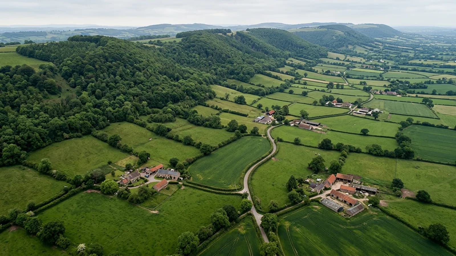
Drone survey in Tiverton
A steep-sided town in one of the wettest parts of the Exe valley, where many roofs sit above the general roofline and take more wind because of it.
Height above the roofline
Tiverton is built where the Lowman joins the Exe, with the centre low and residential streets climbing sharply north and west. The consequence for roofs is that a lot of them sit above the general roofline of their surroundings, and a roof that stands proud of its neighbours takes noticeably more wind than one tucked among them.
That shows in the same places every time: ridge, hip, verge and any chimney stack that projects above the ridge line. On a steep site those are also the hardest parts to reach, so they get inspected least and fail most.
A wet valley by Devon standards
The Exe valley here is notably wet, well above the Devon average, which is saying something. Prolonged wetting is the main mechanism of decay, and it favours organic growth on any slope that does not get sun.
There is stone slate on some of the older outlying buildings, which behaves differently from natural slate: heavier, more porous and more dependent on the structure beneath it. Where a stone slate roof has started to sag, a photograph taken from ridge height shows the line of it clearly.
Mill terraces and modern estates
Victorian mill workers' terraces make up a good part of the housing, along with a medieval and Georgian centre and extensive post-war estates. Large modern development sits on the eastern edge.
The terraces have the usual shared arrangements: party walls, common valleys and stacks on boundaries. Those are the situations where a neighbour has to be part of the conversation, and where a photograph of the whole run is more useful than one of a single house.
Canal, castle and open ground
The Grand Western Canal, the castle and the school buildings are all significant local structures, and the countryside around Knightshayes gives plenty of open ground. Flying here is generally comfortable away from the steepest streets.
The main planning point is the gradient. A take off position on the correct level for the building often means walking somewhere first, which is worth agreeing at the quote stage rather than discovering on the morning.
Blundell's, the canal and the larger buildings
Tiverton has a number of substantial institutional and historic buildings, from the school to the castle and the properties along the Grand Western Canal, and those carry large complex roofs with long gutter runs and a good deal of lead.
Buildings of that size are difficult to survey conventionally because there is simply a lot of roof, much of it invisible from any point on the ground. An overhead pass produces a complete record in one visit rather than a partial one from several ladder positions.
For domestic EX16 clients the same principle applies at a smaller scale on the Victorian terraces, where a rear elevation with a two storey outrigger has a roof arrangement that nobody has looked at properly since it was built.
Behind the survey
What Tiverton clients are actually buying
CAA registered
Registered with the Civil Aviation Authority as an operator, with both an Operator ID and a Flyer ID held. Anybody flying a camera drone for you should hold both.
A2 Certificate of Competency
The qualification that covers flying closer to buildings and to people than the basic rules allow. It is not a GVC and this site does not claim one.
Insured with Coverdrone
Commercial flights are covered by a Coverdrone policy. A copy of the certificate is available on request, and most managing agents will ask for it.
One named surveyor
Sam Hembury plans and flies every job himself and writes up every report. There is no crew and no subcontractor, so the person you speak to is the person who turns up.
DJI Mavic 4 Pro
A 100 megapixel Hasselblad camera and 6K video. That resolution is the reason a cracked mortar joint is readable in a photograph taken from twenty metres away.
DJI Mavic 2 Enterprise Advanced
Carries a 640 by 512 radiometric thermal camera alongside the ordinary one, which is a different job: heat and moisture rather than condition.
Report within 48 hours
The written report follows the flight within 48 hours. It is a process commitment rather than a promise about what the report will find.
Construction background
The reports are written by somebody who worked in construction before flying, so a defect is described in the words a builder or a roofer will use back to you.
Nearby
Also covered around Tiverton
- CullomptonA Culm valley town on flat ground beside the M5, holding damp and frost, with medieval fabric, thatch and a lot of late twentieth century estate housing.
- CreditonA market town in a red sandstone valley surrounded by working farms, where thatch ridges and north-facing slate take the brunt of Atlantic weather.
- ExeterThe city where the surveys are based, with a building stock that runs from Georgian terraces to last year's estates, and a river valley that keeps everything damp.
- WellingtonA mill town at the foot of the Blackdown escarpment, where the hill above accelerates south-westerly wind over the higher streets.
See what it costs
Get a quote in Tiverton
Send the address and what is worrying you. Sam Hembury will come back with a fixed price and the next slot that suits the weather.