Start to finish
What actually happens, in order
On the day
From the first message to the report landing
- Step 1
You describe the problem
An address, a rough idea of the building and whatever prompted the question. If a survey is not the right answer you get told that at this point, before any money is discussed.
- Step 2
The site gets checked on a map first
Where the building sits, what is around it, whether the airspace above it needs anything arranging, and where an aircraft can safely take off and land. Some addresses need a few days of lead time and it is better to know that now.
- Step 3
A fixed price and a date
One price for the job, agreed before anybody travels, and a date that suits the weather rather than the diary. Travel is inside the price.
- Step 4
The visit
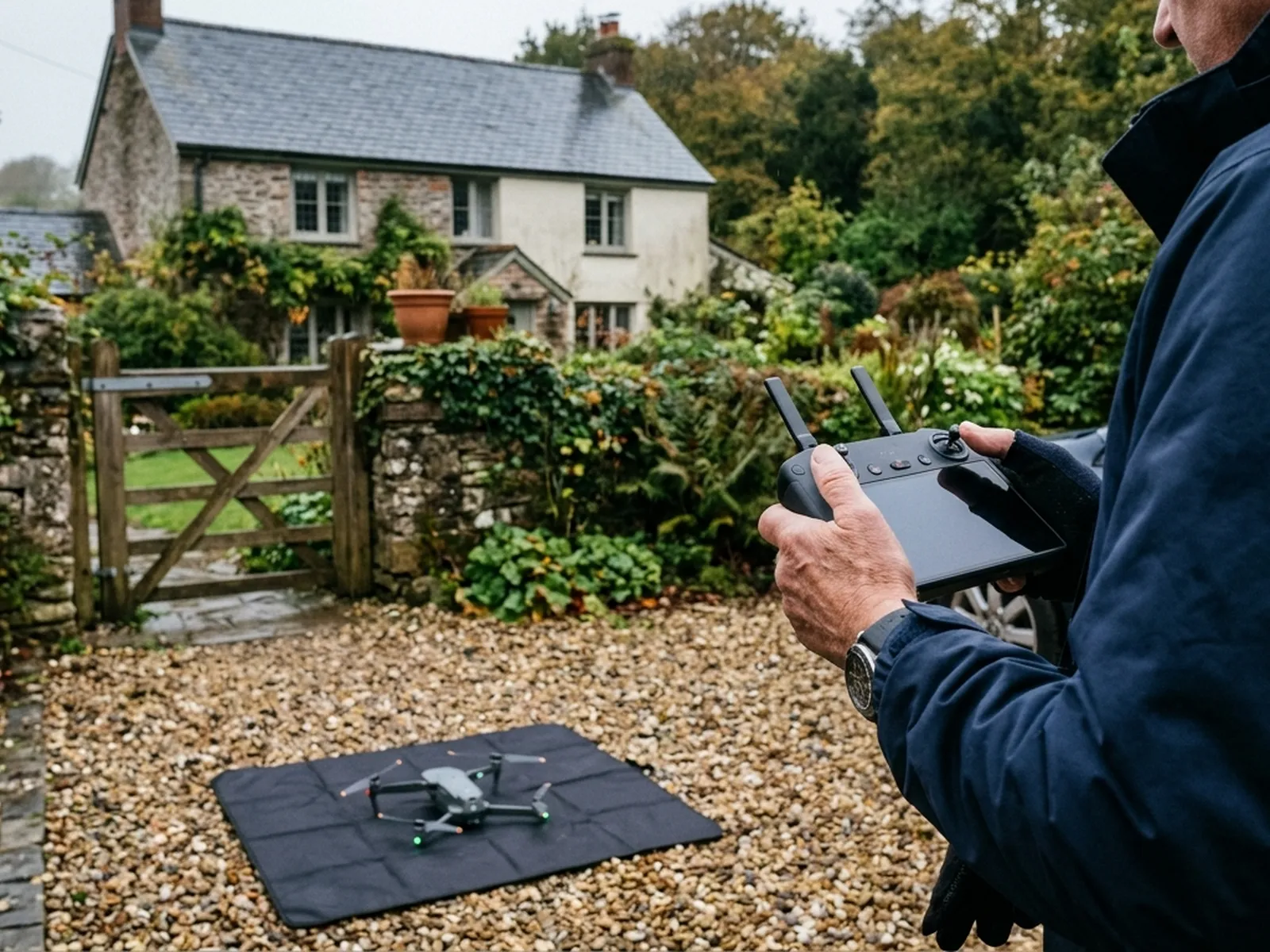
Setting up takes longer than flying. A house is usually under an hour on site in total. Somebody needs to be there to open a gate and point at what is worrying them, and that is the extent of it.
- Step 5
The images get sorted
A flight produces far more photographs than anybody wants to look at. They are worked through, the useful ones are picked out and placed against the part of the building they show.
- Step 6
The report arrives within 48 hours
Captioned photographs, a written note on what is visible, and a plain statement of what could not be seen. Sent as a document you can forward to anybody.
The report
What is inside the report
Where and when
The address, the date, the weather at the time and what was flown, so the record stands on its own two years later.
The overview images
Each elevation and the roof plan, so anybody reading it can orient themselves before the close detail starts.
The detail images
The close photographs, each captioned with what it shows and where it is on the building.
Observations
What is visible and worth attention, described plainly. Not a specification for repair and not a costing.
What could not be seen
Covered sections, shaded elevations, anything hidden by a tree or by standing water. The gaps are stated rather than glossed over.
The original files
The full resolution images, so you can zoom in yourself or hand the lot to somebody else.
Why 48 hours and not the same afternoon
Because the sorting is the work. Picking twenty useful frames out of two hundred, matching each one to the right part of the building and writing a caption that means something takes a desk and a proper screen, not a laptop balanced on a van seat.
Weather and rules
What stops a flight, and what does not
Wind
The most common reason a date moves. It is not usually about the aircraft coping, it is about the camera holding still enough for a photograph that is worth having.
Rain and light
Heavy rain stops a flight. Flat overcast light is close to ideal, because hard sunshine throws shadows across exactly the details a survey needs to see.
Airspace and permissions
Some sites need arranging in advance, particularly near an airport. That gets sorted at the planning stage rather than being discovered on the day.
What does not stop it
Cold, cloud, a bit of drizzle earlier in the day, or a house being occupied. None of those matter, and a survey does not need anybody to move out or move a car.
Before you book
Common questions
- What actually is a drone survey?
- Photographs taken from the air of a building or a piece of land, plus a written report explaining what those photographs show. The aircraft carries a camera, not a scanner or an x-ray, so a survey records what is visible from outside.
- Is it the same thing as a building survey?
- No. A building survey is a surveyor walking through a property and forming an opinion on it, usually to a RICS format. A drone survey is a visual record of the outside, mainly the parts nobody can reach. The two answer different questions and are often used together.
- How much does it cost?
- A fixed price per survey, agreed before anyone travels, once the address and the job are known. Size, complexity and distance are what move it. There is a page on this site about what changes a price and why no figure is quoted before an address.
- How long does the flight take?
- A house usually takes under an hour on site including setting up and packing away. Larger buildings and land parcels take longer. The report is the slower half of the work, and it follows within 48 hours.
- Do you need to come inside, or get on the roof?
- No. Nothing leans on the building, nothing is walked on and there is no scaffolding or ladder. Most surveys need somebody to be there to open a gate and point out what is worrying them, and that is all.
- What can a drone survey not see?
- Anything under a covering, inside a wall or a roof void, below ground, or hidden by vegetation, standing water or snow. It shows the outside surface of things. Where something needs opening up to be understood, the report says so rather than guessing.
- Do you need permission to fly over my property?
- Flights are planned around the Civil Aviation Authority rules that apply, and around who and what is near the site. Some places need more planning than others, particularly close to an airport or in a busy town centre. That gets sorted before the visit is booked, not on the day.
- What happens if the weather is wrong?
- The flight moves. Wind, heavy rain and poor light all stop a survey, and rescheduling for weather costs nothing. Booking a firm date a fortnight out matters less than being available in the right week.
- What do I actually get at the end?
- A written report with the photographs in it, laid out so each image is captioned and explained, and the original files if you want them. It is yours to send to a roofer, a builder, an agent, an insurer or a solicitor.
See what it costs
Get a quote with Drone Survey
Tell us the address and what you need looking at. Sam Hembury will come back with a fixed price and the next available slot.