Devon · TQ6
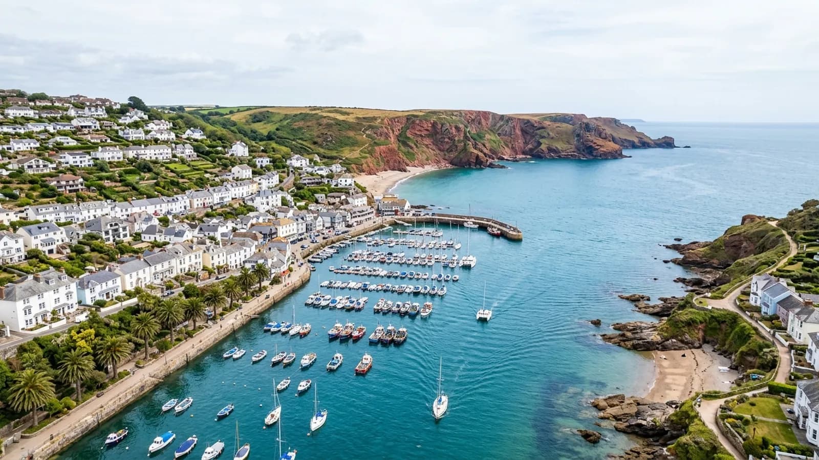
Drone survey in Dartmouth
A port so steep that streets become stairs, with timber-framed merchant houses whose roofs discharge straight onto the building below them.
One roof discharging onto the next
Dartmouth is built on ground so steep that the buildings are effectively stacked, and the practical consequence is that one property's roof frequently discharges towards its neighbour rather than into its own garden. That arrangement works until a gutter blocks, at which point the water goes somewhere that belongs to somebody else.
Sorting out that kind of problem needs a view of both roofs at once, which is the single hardest thing to get in this town from ground level. An overhead photograph of the whole arrangement shows where the water is meant to go and where it is actually going, and it is usually the document that ends the disagreement.
Timber framing, jetties and lead
The stock around Bayards Cove and the Butterwalk includes exceptional timber-framed and jettied merchant houses, with Georgian and Victorian terraces climbing the hill behind. Lead-lined valleys and gutters are everywhere on the listed buildings, and lead has a long but finite life.
Lead fails at the joints and at the fixings rather than in the middle, and the failure is gradual. A close photograph of a lead-lined valley shows splits, lifted welts and where a patch has been laid over an older repair. That level of detail is what a survey here is for.
Flying above a stacked town
There is very little level ground and the streets are narrow, so take off is planned rather than assumed. Often the practical position is a car park, a quay or a garden well above the property.
The river mouth gives good open approaches, and buildings facing the Dart can be photographed from over the water without standing above anybody's roof. The Naval College dominates the skyline and sits within its own arrangements, so flights around that end of the town are planned with particular care.
Damp rather than gales
The river mouth shelters the town from the worst of the open sea, so this is not primarily a storm damage town. It is a damp one. Persistent moisture, shaded slopes that never dry and organic growth in the valleys are what wear a Dartmouth roof out.
That produces slow, expensive failures in listed fabric, and the argument for a periodic record rather than a one-off inspection is stronger here than in most places on this list.
The Naval College, the ferry and working around the river
Britannia Royal Naval College dominates the skyline and the town has an active river with ferries and moorings, so flights here are planned with more than the building in mind. That is ordinary planning rather than an obstacle, and it is settled before a date is offered.
For a TQ6 owner the useful consequence is that the arrangement takes a little longer to set up than a job in a quiet inland town. Being asked for a week rather than a morning is normal here and it produces a better result.
The castle and the river mouth mark where exposure changes. Properties near the mouth get weather that the town centre, tucked behind the hill, largely avoids.
Behind the survey
What Dartmouth clients are actually buying
CAA registered
Registered with the Civil Aviation Authority as an operator, with both an Operator ID and a Flyer ID held. Anybody flying a camera drone for you should hold both.
A2 Certificate of Competency
The qualification that covers flying closer to buildings and to people than the basic rules allow. It is not a GVC and this site does not claim one.
Insured with Coverdrone
Commercial flights are covered by a Coverdrone policy. A copy of the certificate is available on request, and most managing agents will ask for it.
One named surveyor
Sam Hembury plans and flies every job himself and writes up every report. There is no crew and no subcontractor, so the person you speak to is the person who turns up.
DJI Mavic 4 Pro
A 100 megapixel Hasselblad camera and 6K video. That resolution is the reason a cracked mortar joint is readable in a photograph taken from twenty metres away.
DJI Mavic 2 Enterprise Advanced
Carries a 640 by 512 radiometric thermal camera alongside the ordinary one, which is a different job: heat and moisture rather than condition.
Report within 48 hours
The written report follows the flight within 48 hours. It is a process commitment rather than a promise about what the report will find.
Construction background
The reports are written by somebody who worked in construction before flying, so a defect is described in the words a builder or a roofer will use back to you.
Nearby
Also covered around Dartmouth
- TotnesA medieval hill town of slate-hung frontages and jettied buildings where the roofs run into each other and the valleys collect everything that falls.
- BrixhamA working fishing port packed into a steep bowl around the harbour, where the wind comes from every quarter and the cottages are painted rather than pointed.
- KingsbridgeA steep estuary-head town where Fore Street climbs hard from the quay and the tightly packed roofs sit in each other's turbulence.
- SalcombeContemporary flat roofs, glazing and terraces stacked on a very steep hillside above the water, in one of the most salt-exposed places on this list.
See what it costs
Get a quote in Dartmouth
Send the address and what is worrying you. Sam Hembury will come back with a fixed price and the next slot that suits the weather.