Devon · EX15
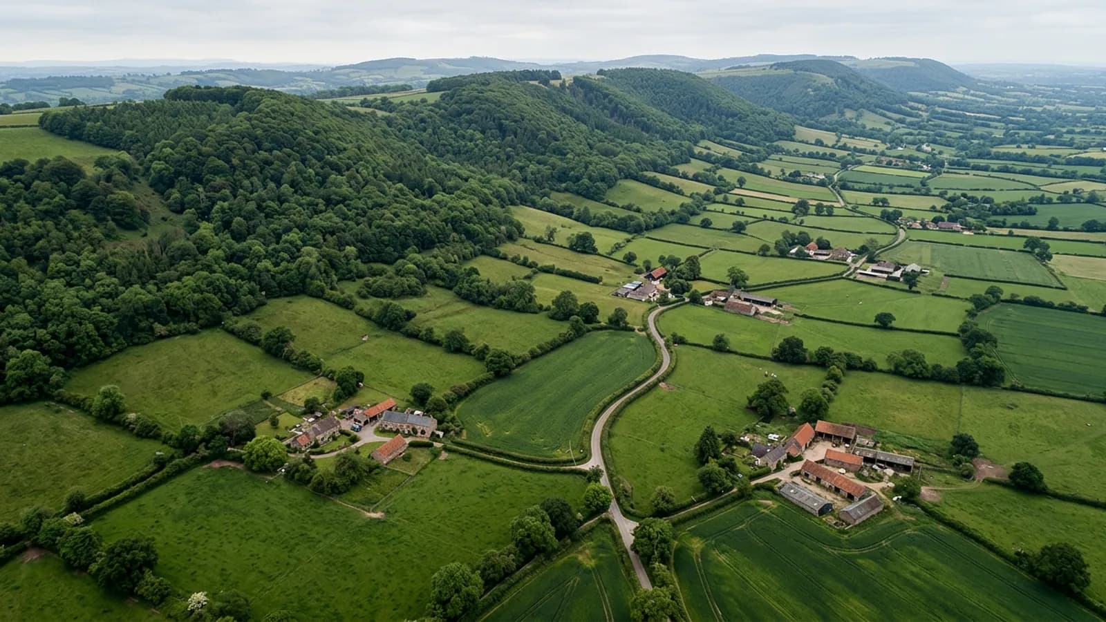
Drone survey in Cullompton
A Culm valley town on flat ground beside the M5, holding damp and frost, with medieval fabric, thatch and a lot of late twentieth century estate housing.
Frost as well as damp
Cullompton sits on the valley floor, so it holds damp and it holds frost. Both matter to a roof, and frost is the one people underestimate. Water that has soaked into mortar or into a porous tile expands when it freezes, and the damage from that is cumulative rather than sudden.
Where it shows is in bedding mortar at ridges and hips, in pointing at verges, and in the surface of older clay tiles that have started to laminate. All three are edge details at height, and a close photograph of a ridge line after a hard winter tells you far more than a look from the road.
A medieval core and thirty years of estates
Fore Street has a medieval and Georgian core with cob and thatch in the older lanes, and around it there is a large volume of late twentieth century estate housing plus continuing new build. St Andrew's Church and The Walronds are among the significant historic buildings.
The estate housing is where most enquiries start, and the typical finding is unremarkable but worth knowing: ridge mortar that has begun to fail at thirty years, verge pointing that has cracked, and a flat roof over a garage or a back extension that has reached the end of its life quietly.
The motorway corridor and the industrial estates
Junction 28 and the industrial estates bring profiled metal sheet roofs into the local stock, which is a commercial rather than a domestic job. Large spans, gutters that run a long way, and rooflights that have yellowed and gone brittle.
For those buildings the value of an overhead pass is that it shows the whole drainage picture at once. A gutter blocked at one end of a two hundred metre run is not obvious from inside the unit, and it is obvious from above.
Flat ground and easy access
This is one of the more straightforward towns in the area to work in. The ground is level, the estates have gardens and driveways, and the industrial units have yards. There is normally somewhere sensible to take off within a few metres of the building.
The motorway is a feature to plan around rather than a problem, since flights stay well clear of it, and the Culm valley gives useful open ground on either side of the town.
The Walronds, St Andrew's and the historic core
The Walronds and St Andrew's Church anchor a historic core that sits oddly close to a motorway junction, and the older buildings there have the complications that go with age: hand formed valleys, later additions and repairs of several different periods meeting each other.
For an EX15 owner in that part of town, the useful thing a survey does is separate the original fabric from the later work. Most problems on buildings like these are at the joins rather than in the middle of anything, and the joins are all at roof level.
The Culm valley either side of the town gives open ground and easy approaches, so the flying is straightforward even where the buildings are not.
Behind the survey
What Cullompton clients are actually buying
CAA registered
Registered with the Civil Aviation Authority as an operator, with both an Operator ID and a Flyer ID held. Anybody flying a camera drone for you should hold both.
A2 Certificate of Competency
The qualification that covers flying closer to buildings and to people than the basic rules allow. It is not a GVC and this site does not claim one.
Insured with Coverdrone
Commercial flights are covered by a Coverdrone policy. A copy of the certificate is available on request, and most managing agents will ask for it.
One named surveyor
Sam Hembury plans and flies every job himself and writes up every report. There is no crew and no subcontractor, so the person you speak to is the person who turns up.
DJI Mavic 4 Pro
A 100 megapixel Hasselblad camera and 6K video. That resolution is the reason a cracked mortar joint is readable in a photograph taken from twenty metres away.
DJI Mavic 2 Enterprise Advanced
Carries a 640 by 512 radiometric thermal camera alongside the ordinary one, which is a different job: heat and moisture rather than condition.
Report within 48 hours
The written report follows the flight within 48 hours. It is a process commitment rather than a promise about what the report will find.
Construction background
The reports are written by somebody who worked in construction before flying, so a defect is described in the words a builder or a roofer will use back to you.
Nearby
Also covered around Cullompton
- TivertonA steep-sided town in one of the wettest parts of the Exe valley, where many roofs sit above the general roofline and take more wind because of it.
- ExeterThe city where the surveys are based, with a building stock that runs from Georgian terraces to last year's estates, and a river valley that keeps everything damp.
- HonitonA famously uniform Georgian high street rebuilt after fire, sitting in a valley that holds fog and keeps roofs damp right through the winter.
- WellingtonA mill town at the foot of the Blackdown escarpment, where the hill above accelerates south-westerly wind over the higher streets.
- CranbrookDevon's newest town, still building out phase by phase, where the survey questions are about workmanship and warranties rather than about age and wear.
See what it costs
Get a quote in Cullompton
Send the address and what is worrying you. Sam Hembury will come back with a fixed price and the next slot that suits the weather.