Devon · TQ1-TQ2
Drone survey in Torquay
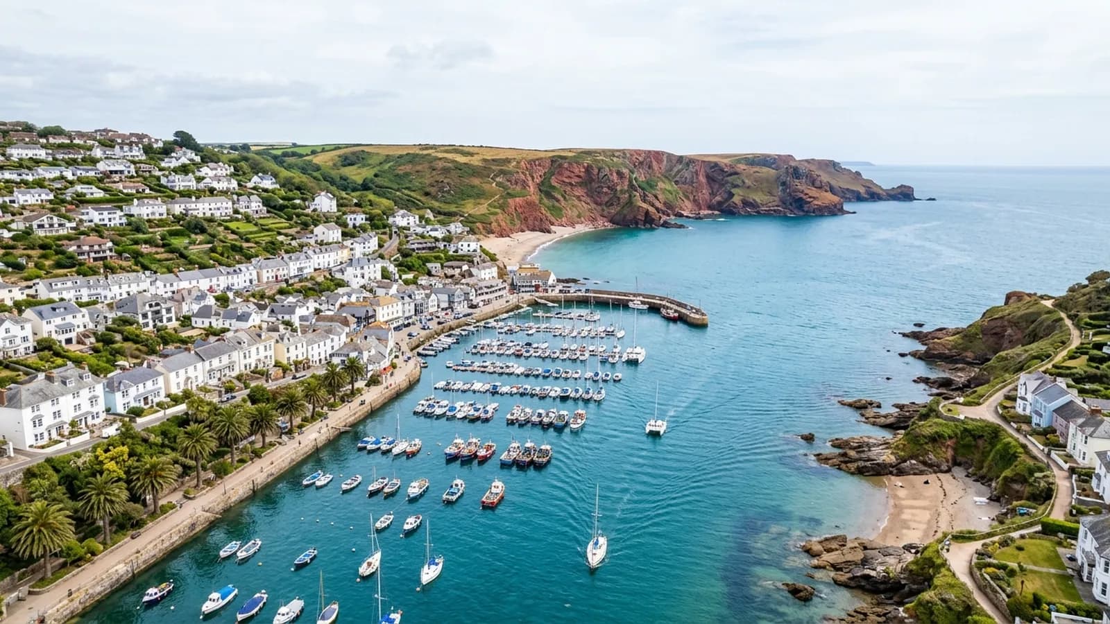
Grand Italianate villas and hotels with roofscapes so tall and complicated that most owners have never actually seen the top of their own building.
Roofs nobody has ever properly looked at
Torquay's Victorian and Edwardian villas and hotels were built to be seen from the front and from a distance. They carry rendered elevations, elaborate roofscapes, mansards, parapets, lead-lined parapet gutters and turrets, on buildings that are often four storeys before the roof even starts.
Nobody looks at those. A ladder does not reach, a tower is a road closure and a scaffold is a five figure decision, so the usual sequence is that a leak appears on a top floor ceiling and somebody starts guessing. From the air the whole arrangement is visible in twenty minutes, including the parts of a parapet gutter that no ladder position in the world would reveal.
Conversions, and roofs with several owners
A large share of those villas and hotels are now flats. That produces the specific Torquay situation where a roof covers eight households, the water comes into one of them, and the cost is shared by all of them under a lease nobody has read recently.
In that situation a survey is less about finding the defect and more about producing something everybody can look at together. A set of captioned photographs is a neutral document. It also stops the conversation being about whose flat is affected and moves it to what the roof actually needs.
Sheltered from the wrong direction
The bay gives shelter from the prevailing south-westerly, which is exactly why the town grew as a resort. What it does not shelter from is easterly weather, which comes straight in across Tor Bay, and salt reaches the whole seafront regardless of direction.
Buildings detailed for south-westerly weather can be caught out by that. Verges, flashings and pointing on the eastern faces of a building take a beating that the western faces never see, and on a tall Victorian roof those are the elevations that are hardest to inspect from the ground.
Working around seven hills
The town is built across seven limestone hills around the harbour, so almost every street has a gradient and many properties sit on terraced or retained plots. Take off ground is usually available, but it is rarely level and it is rarely directly below the part of the roof that matters.
That is worth knowing when you compare a flight to other access options: the same gradient that makes a scaffold expensive here has very little effect on what an aircraft can photograph, because it simply flies to the height it needs rather than being built up to it.
Babbacombe, Oddicombe and the cliff side of the town
Babbacombe and Oddicombe sit on the cliff side of Torquay where the ground falls away hard to the sea, and the properties there are as exposed as anything in the bay despite the general shelter the bay provides.
For a TQ1 address on that side the survey findings tend towards the coastal pattern: wind damage at ridges and verges, salt on the fixings and render that has taken more than its share. Properties around the harbour and inland behave quite differently.
Torre Abbey and the older parts of the town add historic fabric to the mix, and flights near significant buildings are planned rather than improvised as a matter of course.
Behind the survey
What Torquay clients are actually buying
CAA registered
Registered with the Civil Aviation Authority as an operator, with both an Operator ID and a Flyer ID held. Anybody flying a camera drone for you should hold both.
A2 Certificate of Competency
The qualification that covers flying closer to buildings and to people than the basic rules allow. It is not a GVC and this site does not claim one.
Insured with Coverdrone
Commercial flights are covered by a Coverdrone policy. A copy of the certificate is available on request, and most managing agents will ask for it.
One named surveyor
Sam Hembury plans and flies every job himself and writes up every report. There is no crew and no subcontractor, so the person you speak to is the person who turns up.
DJI Mavic 4 Pro
A 100 megapixel Hasselblad camera and 6K video. That resolution is the reason a cracked mortar joint is readable in a photograph taken from twenty metres away.
DJI Mavic 2 Enterprise Advanced
Carries a 640 by 512 radiometric thermal camera alongside the ordinary one, which is a different job: heat and moisture rather than condition.
Report within 48 hours
The written report follows the flight within 48 hours. It is a process commitment rather than a promise about what the report will find.
Construction background
The reports are written by somebody who worked in construction before flying, so a defect is described in the words a builder or a roofer will use back to you.
Nearby
Also covered around Torquay
- PaigntonFlat ground, Edwardian and inter-war seaside terraces in great number, and a guest house stock full of extensions that nobody has inspected in decades.
- BrixhamA working fishing port packed into a steep bowl around the harbour, where the wind comes from every quarter and the cottages are painted rather than pointed.
- Newton AbbotRailway-era terraces in large numbers on damp low ground by the Teign, plus big industrial spans on the trading estates that nobody can walk on safely.
- TeignmouthA seafront town that takes easterly gales up the Channel, which catches out buildings detailed only for weather arriving from the other direction.
See what it costs
Get a quote in Torquay
Send the address and what is worrying you. Sam Hembury will come back with a fixed price and the next slot that suits the weather.