Coverage and permissions
Where the aircraft goes, and what decides it
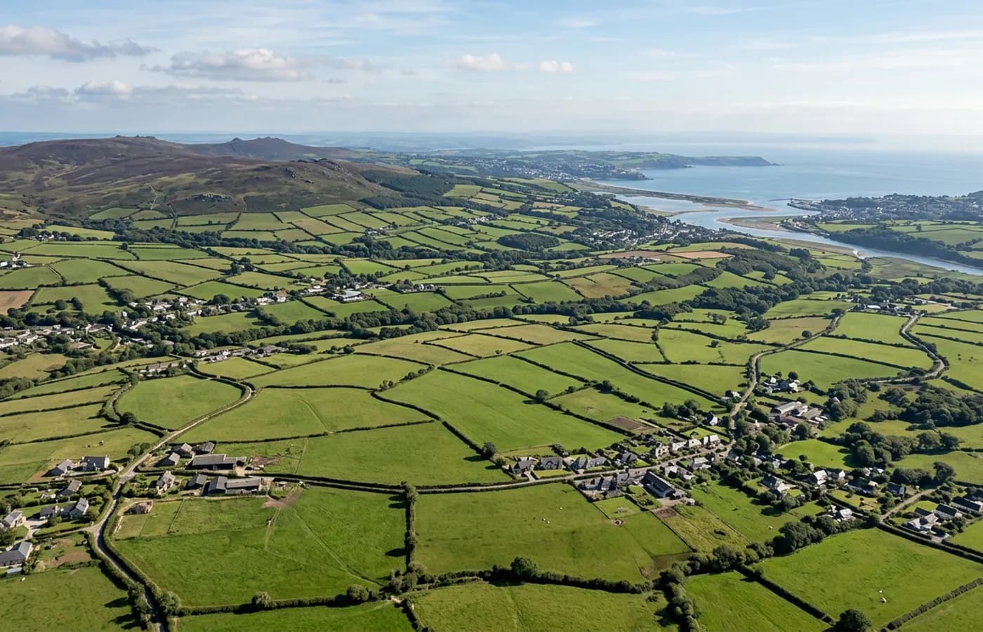
Permissions
The rules, without the jargon
The operator is registered
Flying a camera drone for somebody else means being registered with the Civil Aviation Authority, holding an Operator ID and a Flyer ID. Both are held here. It is reasonable to ask anybody quoting you for the same.
The A2 Certificate of Competency
This is the qualification that allows flying closer to buildings and to people than the basic rules permit, which is what makes close roof detail possible at all. It is not a GVC and nothing on this site claims one.
Distance from people
The rules are about people who are not part of the operation rather than about property. That is why a take off position, a working area and sometimes a short cordon get discussed before the visit.
Airspace
Some places sit under restrictions, most obviously near an airport or an active aerodrome. That is checked at the planning stage, and where something needs arranging it is arranged before a date is offered.
Insurance
Commercial flights are covered by a Coverdrone policy and a copy of the certificate is available on request. Managing agents and commercial clients usually ask for it, and they are right to.
Weather
Wind, heavy rain and poor light stop flights. Rescheduling for weather costs nothing and is a normal part of the arrangement rather than a failure of it.
On the ground
What the ground has to give you
An aircraft needs somewhere to take off from and come back to: a few square metres of reasonably firm, level ground with nothing overhead. A lawn, a drive, a yard, a field gateway or a car park all work. A soft yard in January works too, which is more than can be said for a scaffold lorry.
The awkward cases are terraces with no garden, near vertical streets and buildings that fill their plot completely. Those are solved by working from a neighbour's ground with permission, from a public space where that is appropriate, or from further away at a greater height. It is worth mentioning the situation when you first get in touch so it can be planned rather than improvised.
Nothing else is required. Nobody has to move out, nothing needs to be moved off the drive, and no internal access is needed at any point.
The map
Six landscapes, six sets of conditions
The estuary cities
Exeter, Topsham, Cranbrook and Plymouth. Dense building, tight take off ground, tidal water nearby and airspace to consider on the eastern side of Exeter. The flying is planned more than it is difficult.
South Devon and Torbay
Steep, tightly built and sheltered from the prevailing wind but wide open to an easterly. Tall Victorian roofscapes here are among the hardest in the region to see any other way.
The Jurassic Coast
East Devon and West Dorset, from Exmouth round to Weymouth. Full southern exposure, salt on the wind, cliff lines that are not safe ground and a great deal of parapet construction.
The Blackdowns and the vales
Honiton, Taunton, Yeovil, Sherborne and the towns between. Inland, sheltered, frost-prone on the valley floors, and by some way the widest weather window on this list.
Dartmoor, Bodmin and the Tamar
Okehampton, Tavistock, Launceston and the moor edge towns. High rainfall, quick changes, and remote properties where the value of flying is that nothing has to reach the building.
Exmoor and the north coast
Barnstaple round to Bude and Minehead. The most exposed ground in the coverage area, plenty of open space to work from, and the shortest flyable windows in winter.
If you are outside the area
The edges of this map are set by drive time rather than by a boundary, so a job just beyond it usually still works. Travel is inside the fixed price, which means the answer to a distant address is a price rather than a refusal. Ask, and you will get a straight yes or no.
Rules
Questions about permissions
- Do you need my neighbour's permission?
- Not to photograph your own building. If the practical take off position is on their ground, then yes, and that is asked for in advance rather than assumed. The camera is pointed at the property being surveyed.
- Can you fly near an airport?
- Some locations near an airport or an aerodrome need clearance arranged in advance, which is done at the planning stage. It is a reason a date takes a few days to confirm rather than a reason a job cannot happen.
- What about a conservation area or a listed building?
- Those designations govern what you may do to a building rather than whether it can be photographed. In practice a survey is often part of getting consent, because an application has to describe the existing fabric.
- How far will you travel?
- Across Devon and into east Cornwall, south Somerset and west Dorset as standard, with travel inside the fixed price. Further afield is a question of what the price ends up being rather than a hard limit.
- Do you fly over the sea or over cliffs?
- Coastal work is normal on this stretch of the country, planned around where the aircraft can safely be operated from. A cliff edge is not a safe place to stand, so the working position is usually set back from it.
See what it costs
Get a quote with Drone Survey
Tell us the address and what you need looking at. Sam Hembury will come back with a fixed price and the next available slot.