Devon · EX14
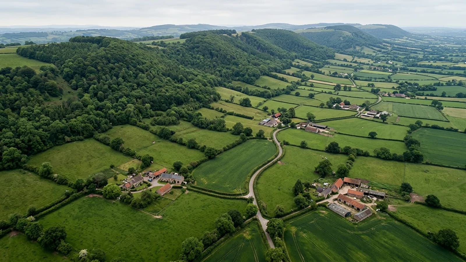
Drone survey in Honiton
A famously uniform Georgian high street rebuilt after fire, sitting in a valley that holds fog and keeps roofs damp right through the winter.
A high street of identical problems
Honiton's Georgian high street was rebuilt after eighteenth century fires and is unusually uniform. Buildings of the same date, the same construction and the same roof arrangement sit side by side for most of the length of the town, with Victorian additions behind.
Uniformity is useful. When one building in a run develops a problem at a particular junction, it is worth looking at the same junction on its neighbours, because they were all built the same way at the same time by the same people. A survey of one property in a Honiton terrace frequently tells its neighbours something as well.
Fog that sits for months
The town is sheltered from the sea but exposed to weather coming over the Blackdowns, and the valley is prone to sitting fog that keeps roofs damp through the winter. Prolonged wetting rather than dramatic storm damage is what wears buildings out here.
That produces slow decay: mortar softening at the ridge, moss establishing in the laps, timber staying wet at the eaves, lichen on north-facing slate. None of it is urgent on any given day and all of it adds up over a decade, which is exactly the kind of thing a periodic photographic record catches.
Thatch and cob in the lanes
Outside the town there is thatch on the outlying cottages and cob behind a good deal of the render. Both are traditional and both are unforgiving of prolonged damp, so keeping water off them is the whole maintenance strategy.
For a thatched cottage a flight records the state of the ridge and the coatwork and shows the parts of the roof nobody can get to. It supplements a thatcher rather than replacing one, and it is useful for exactly the reason a ladder is not.
A long linear town on a coaching road
The shape of Honiton, strung along the old coaching road, means most properties have a narrow frontage and a long plot behind. Take off ground is usually at the back rather than the front, which suits everybody since the high street is busy.
Dumpdon Hill and the Blackdowns above the town are a good indicator of conditions. If the hills are in cloud the light will be flat, which is actually helpful for photographing a roof.
Lace, antiques and the shops with flats above them
A good part of the high street is commercial at ground level with accommodation above, which creates the familiar arrangement where the person who suffers a leak is not the person who owns the roof.
For EX14 addresses of that kind the report has to work as evidence between two parties rather than as a note to self. Dated, captioned photographs of a specific defect on a specific part of the roof are what move a conversation between a shop tenant and a building owner along.
The other local factor is the depth of the plots. These buildings run a long way back from a narrow frontage, and the rear roofs are invisible from the street, which is where most of the findings turn out to be.
Behind the survey
What Honiton clients are actually buying
CAA registered
Registered with the Civil Aviation Authority as an operator, with both an Operator ID and a Flyer ID held. Anybody flying a camera drone for you should hold both.
A2 Certificate of Competency
The qualification that covers flying closer to buildings and to people than the basic rules allow. It is not a GVC and this site does not claim one.
Insured with Coverdrone
Commercial flights are covered by a Coverdrone policy. A copy of the certificate is available on request, and most managing agents will ask for it.
One named surveyor
Sam Hembury plans and flies every job himself and writes up every report. There is no crew and no subcontractor, so the person you speak to is the person who turns up.
DJI Mavic 4 Pro
A 100 megapixel Hasselblad camera and 6K video. That resolution is the reason a cracked mortar joint is readable in a photograph taken from twenty metres away.
DJI Mavic 2 Enterprise Advanced
Carries a 640 by 512 radiometric thermal camera alongside the ordinary one, which is a different job: heat and moisture rather than condition.
Report within 48 hours
The written report follows the flight within 48 hours. It is a process commitment rather than a promise about what the report will find.
Construction background
The reports are written by somebody who worked in construction before flying, so a defect is described in the words a builder or a roofer will use back to you.
Nearby
Also covered around Honiton
- Ottery St MaryA compact valley town with a great church, cob and thatch survivals in the lanes, and mist that lets moss establish on anything facing north.
- AxminsterA hilltop market town open to wind from every quarter, with former carpet and mill buildings carrying large spans of metal and asbestos cement.
- CullomptonA Culm valley town on flat ground beside the M5, holding damp and frost, with medieval fabric, thatch and a lot of late twentieth century estate housing.
- SidmouthA Regency town in a steep valley where the hills either side gust hard around chimneys, on buildings with some of the most complicated roof geometry in Devon.
See what it costs
Get a quote in Honiton
Send the address and what is worrying you. Sam Hembury will come back with a fixed price and the next slot that suits the weather.