Devon · EX38
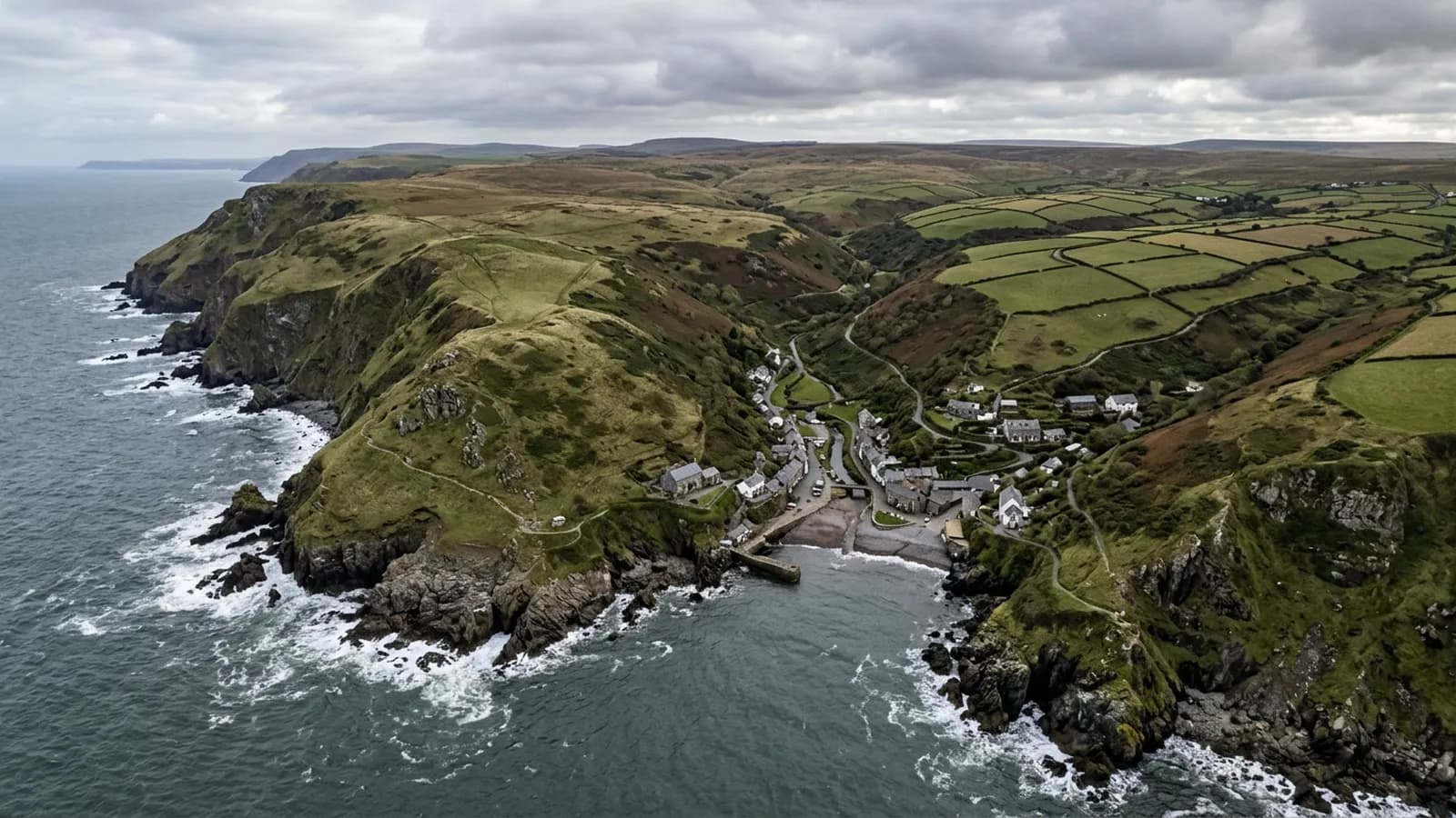
Drone survey in Great Torrington
A hilltop town standing on a bluff above the Torridge, so it takes wind loading from every direction with nothing around it for shelter.
Standing above the landscape
Great Torrington sits on a bluff high above a loop of the Torridge with commons and steep wooded slopes falling away on three sides. The town stands above everything around it, which means wind loading is high from every direction and driving rain finds any weakness in mortar and flashing.
That is an unusual degree of all-round exposure for an inland town. Buildings that would be sheltered in a valley are treated here as though they were on a coast, and the failures follow the coastal pattern: edges and details rather than fields.
Georgian centre, industrial legacy
There is a Georgian and Victorian centre around the square, terraced cottages, a glassworks and creamery industrial legacy, and post-war estates on the plateau. Corrugated metal appears on outbuildings throughout.
The industrial buildings bring larger spans and older coverings, and the outbuildings scattered around the town are the sort of structure people put off dealing with until something falls off. Both are simpler to record from above than to inspect on foot.
Commons on three sides
Torrington Commons and the steep wooded slopes give a great deal of open ground close to the town, which is useful for flying and gives good approaches from most directions.
Rosemoor and the surrounding countryside mean a fair share of rural work in the same catchment, including farm buildings and larger grounds.
What the exposure does over time
Mortar is the material that suffers. Constant wetting followed by wind means bedding at ridges and hips, and pointing at verges, wears faster here than in a sheltered position, and it does so on every elevation rather than just the weather side.
A photographic record makes that comparable year on year, which is more useful on a building that is deteriorating evenly than a single inspection would be.
Rosemoor, the creamery and the buildings in between
Enquiries here are not only houses. The town has RHS Garden Rosemoor on its doorstep, a creamery legacy in its industrial buildings and a scatter of outbuildings, workshops and stores around the plateau, and all of those have roofs that somebody is responsible for and nobody enjoys inspecting.
Larger grounds and estates raise a different question again, which is coverage rather than detail. A flight over a group of buildings gives an owner a picture of the whole holding in one visit, so the decision about which roof gets money this year is made against evidence rather than against whichever building complained loudest.
Castle Hill and the viewpoint over the Torridge loop are useful in a practical sense too, because they show how far the town stands above the valley and therefore how much weather it is actually taking compared with somewhere sheltered a mile away.
Behind the survey
What Great Torrington clients are actually buying
CAA registered
Registered with the Civil Aviation Authority as an operator, with both an Operator ID and a Flyer ID held. Anybody flying a camera drone for you should hold both.
A2 Certificate of Competency
The qualification that covers flying closer to buildings and to people than the basic rules allow. It is not a GVC and this site does not claim one.
Insured with Coverdrone
Commercial flights are covered by a Coverdrone policy. A copy of the certificate is available on request, and most managing agents will ask for it.
One named surveyor
Sam Hembury plans and flies every job himself and writes up every report. There is no crew and no subcontractor, so the person you speak to is the person who turns up.
DJI Mavic 4 Pro
A 100 megapixel Hasselblad camera and 6K video. That resolution is the reason a cracked mortar joint is readable in a photograph taken from twenty metres away.
DJI Mavic 2 Enterprise Advanced
Carries a 640 by 512 radiometric thermal camera alongside the ordinary one, which is a different job: heat and moisture rather than condition.
Report within 48 hours
The written report follows the flight within 48 hours. It is a process commitment rather than a promise about what the report will find.
Construction background
The reports are written by somebody who worked in construction before flying, so a defect is described in the words a builder or a roofer will use back to you.
Nearby
Also covered around Great Torrington
- BidefordA steep former shipbuilding port on the Torridge where the terraced streets make scaffold access a serious problem and slate hanging is everywhere.
- BarnstapleNorth Devon's main town at the tidal limit of the Taw, open to Atlantic weather up the estuary with nothing much in the way of it.
- HolsworthyAn open plateau town in farming country with nothing between it and the Atlantic, where heavy clay ground keeps plant and scaffold off site all winter.
- OkehamptonOne of the wettest and windiest towns on this list, right at the northern foot of Dartmoor, where roofs simply do not get a chance to dry out.
See what it costs
Get a quote in Great Torrington
Send the address and what is worrying you. Sam Hembury will come back with a fixed price and the next slot that suits the weather.