Dorset · DT1
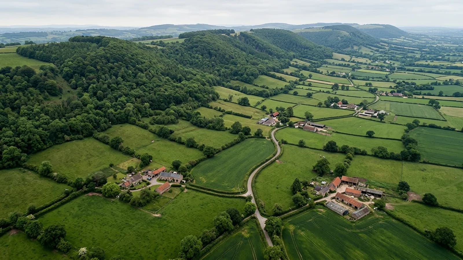
Drone survey in Dorchester
Chalk downland exposure and brick, flint and rendered frontages on a Roman grid, plus Poundbury with an entirely different roof vocabulary next door.
Two towns with two roofscapes
The old centre sits on the Roman street grid with brick, flint and rendered frontages, Georgian and Victorian buildings and post-war estates around them. On the western edge, Poundbury has its own distinctive stone, slate and tile vocabulary, built recently but detailed in a traditional way.
That produces an unusual survey situation: modern buildings with traditional detailing. Parapets, valleys, stone dressings and complex roof forms on buildings that are only a couple of decades old. The details need looking at like old ones even though the fabric is new, and the workmanship question is a live one.
Frost rather than gales
Rainfall here is well below Devon levels and the wind comes off open chalk ridges. Frost action on mortar in exposed ridge and verge details is the more usual issue, rather than the salt and gale damage that dominates the coast.
That changes what a survey looks for. Instead of lifted ridges and corroded fixings, the recurring findings are softened mortar, open joints and the slow opening of a detail that was sound when it was built.
Thatch and stone slate on the fringes
Stone slate and thatch appear on the older fringes of the town, both traditional and both dependent on being kept dry. Thatch in particular is worth recording rather than diagnosing from the air: photographs show the ridge, the coatwork and the netting, and a thatcher judges the rest.
The water meadows and the downland around the town also mean a good share of enquiries are for farm buildings and rural properties rather than for the town itself.
Space and open approaches
Dorchester has room. Gardens, yards and open ground on the edges make take off positions easy, and the downland gives clear approaches for anything on the outskirts.
Maiden Castle and the surrounding scheduled landscape are planned around, which for ordinary domestic work in the town is not a factor at all.
The county town, and the paperwork that comes with it
As the county town, Dorchester generates a particular kind of enquiry: surveys wanted as evidence for somebody official. Planning applications, conservation queries, insurance questions and disputes all end up wanting a photographic record of a building as it currently stands.
For that use the report has to be careful and dated rather than persuasive. What was visible, on what day, in what conditions, and what could not be seen. A DT1 property in the conservation area is far better served by a plain record than by an opinion.
The Roman street grid also gives the older centre a tight, regular plan with narrow plots and buildings that meet each other on every side, so photographing one roof means being clear about where its neighbours begin.
Behind the survey
What Dorchester clients are actually buying
CAA registered
Registered with the Civil Aviation Authority as an operator, with both an Operator ID and a Flyer ID held. Anybody flying a camera drone for you should hold both.
A2 Certificate of Competency
The qualification that covers flying closer to buildings and to people than the basic rules allow. It is not a GVC and this site does not claim one.
Insured with Coverdrone
Commercial flights are covered by a Coverdrone policy. A copy of the certificate is available on request, and most managing agents will ask for it.
One named surveyor
Sam Hembury plans and flies every job himself and writes up every report. There is no crew and no subcontractor, so the person you speak to is the person who turns up.
DJI Mavic 4 Pro
A 100 megapixel Hasselblad camera and 6K video. That resolution is the reason a cracked mortar joint is readable in a photograph taken from twenty metres away.
DJI Mavic 2 Enterprise Advanced
Carries a 640 by 512 radiometric thermal camera alongside the ordinary one, which is a different job: heat and moisture rather than condition.
Report within 48 hours
The written report follows the flight within 48 hours. It is a process commitment rather than a promise about what the report will find.
Construction background
The reports are written by somebody who worked in construction before flying, so a defect is described in the words a builder or a roofer will use back to you.
Nearby
Also covered around Dorchester
- WeymouthA Georgian esplanade of parapet and hidden gutter construction, where a blocked gutter overflows inward into the building rather than outward onto the promenade.
- BridportUnusually wide Georgian streets laid out for rope walks, in a valley that funnels southerly weather up from West Bay onto the higher ground.
- SherborneAn exceptionally consistent hamstone town where the abbey and school buildings carry lead, parapets and valleys that fail slowly and cost a great deal.
- YeovilA manufacturing town in hamstone country with very extensive post-war estates and large industrial spans, in one of the drier corners of this coverage.
See what it costs
Get a quote in Dorchester
Send the address and what is worrying you. Sam Hembury will come back with a fixed price and the next slot that suits the weather.