Cornwall · PL14
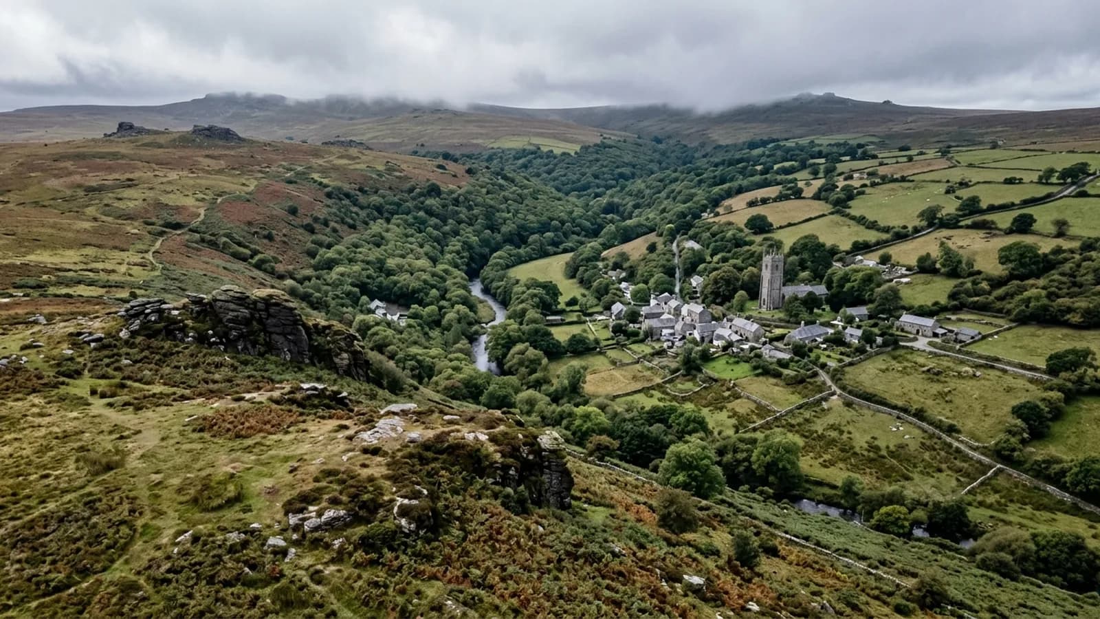
Drone survey in Liskeard
A former mining town on high ground between Bodmin Moor and the coast, with substantial Victorian stone buildings and rainfall well above average.
Buildings that mining money paid for
The Victorian centre was built on copper and tin wealth, and it shows in the scale of the stone and rendered buildings. Substantial townhouses, a public hall and civic buildings, alongside terraced miners' cottages and modern estates on the outskirts.
Big Victorian buildings have big roofs with complicated geometry, and the ones in Liskeard carry Delabole and natural slate with slate hanging on the exposed faces. Those roofs are usually sound in the field and worn at the junctions, which is the pattern across most of this stock.
High, open and wet
The town sits high with Bodmin Moor to the north, and rainfall is well above average with driving rain from the south west constant through the winter. Steep valleys on the eastern side add local variation in exposure.
Constant winter driving rain does its work at flashings and abutments, where water is pushed sideways into a joint rather than running past it. Chimney flashings and the junction where a lower roof meets a higher wall are the usual places to look.
Cottage terraces and shared roofs
The miners' cottages are small, tightly built and often in continuous runs, so the ordinary terrace questions apply: party walls, shared valleys, stacks on boundaries and water crossing from one property to another.
On a continuous run, photographing the whole terrace rather than one house is the practical approach, because a defect three doors along can be the cause of a problem in your own back bedroom.
Space around the town
Outside the centre there is open country in every direction and the Looe valley below, so approaches are easy. Inside it the streets are narrow and the buildings are tall, so take off is planned.
Weather is the usual limiting factor. Conditions here are more like the moor than the coast, which means a wider seasonal spread of unflyable days than at Saltash or Plymouth.
Mining ground and what sits on top of it
This is former mining country, and around Liskeard that leaves a landscape of old workings, adapted industrial buildings and structures that have been reused for something other than their original purpose. Roofs on converted buildings are frequently a mix of original fabric and later work that meet in awkward ways.
Those junctions are where a survey concentrates. A modern covering meeting a Victorian stone parapet, a new rooflight cut into an old slope, a lean-to added against a wall that was never meant to carry a flashing: each is a place where two different practices have had to be reconciled by somebody on site.
The Looe valley line and the steep eastern valleys also mean some PL14 properties sit well below the general level of the town, which changes both their exposure and where an aircraft can usefully work from.
Behind the survey
What Liskeard clients are actually buying
CAA registered
Registered with the Civil Aviation Authority as an operator, with both an Operator ID and a Flyer ID held. Anybody flying a camera drone for you should hold both.
A2 Certificate of Competency
The qualification that covers flying closer to buildings and to people than the basic rules allow. It is not a GVC and this site does not claim one.
Insured with Coverdrone
Commercial flights are covered by a Coverdrone policy. A copy of the certificate is available on request, and most managing agents will ask for it.
One named surveyor
Sam Hembury plans and flies every job himself and writes up every report. There is no crew and no subcontractor, so the person you speak to is the person who turns up.
DJI Mavic 4 Pro
A 100 megapixel Hasselblad camera and 6K video. That resolution is the reason a cracked mortar joint is readable in a photograph taken from twenty metres away.
DJI Mavic 2 Enterprise Advanced
Carries a 640 by 512 radiometric thermal camera alongside the ordinary one, which is a different job: heat and moisture rather than condition.
Report within 48 hours
The written report follows the flight within 48 hours. It is a process commitment rather than a promise about what the report will find.
Construction background
The reports are written by somebody who worked in construction before flying, so a defect is described in the words a builder or a roofer will use back to you.
Nearby
Also covered around Liskeard
- SaltashNear-vertical waterside streets under two bridges, where the Tamar funnels wind hard and conventional access on the old town is awkward and costly.
- LauncestonA hilltop former county town catching weather off two moors, where slate hanging on exposed elevations exists precisely because of the driving rain.
- PlymouthA hilly naval city of flat commercial roofs, surviving Victorian terraces and exposed post-war estates, where the wind comes straight off the Sound.
See what it costs
Get a quote in Liskeard
Send the address and what is worrying you. Sam Hembury will come back with a fixed price and the next slot that suits the weather.